


Support Hidden Compass
Our articles are crafted by humans (not generative AI). Support Team Human with a contribution!
The first thing I notice, when I climb into Mike Hermann’s black beast of a pickup, is the array of digital and analog mapping equipment: a Garmin GPS mounted on the dash, a U.S. Geological Survey topographical map on Hermann’s phone and, dearer to my heart, a pile of old-school foldable maps on the console.
Cryptic questions have been scribbled on one of the paper maps: Gate? Marsh? Gone? Open?
Our mission on this mercifully fresh August morning is to answer those questions. Field-truthing, Hermann calls it: making sure the information on the map matches the facts on the ground. In the journalism world I come from, we call it fact-checking.
There are three of us in what Hermann refers to as his mobile office. Behind the wheel sits Hermann, a 55-year-old whose blond hair and blue eyes make him look younger than he is, and whose rectangular glasses make him look more serious than he is. His field-truthing assistant, Dave Gantz, brown-haired and almost elfin, rides shotgun. And then there’s me, the reporter taking illegible notes while bouncing around in the backseat.
He is driven by offering possibilities, not directions.
As the lead cartographer and founder of Purple Lizard Publishing, Hermann makes paper recreational trail maps that show where to hike, bike, camp, climb, paddle, swim, snowmobile, ride horses, or cross-country ski in Pennsylvania and a couple neighboring states (as well as Puerto Rico). The Pine Creek region, where we’re headed, is Pennsylvania at its wildest, a densely wooded swath of territory that is as far from both Philadelphia and Pittsburgh as you can get without leaving the commonwealth.
In an age of Google Maps and GPS-enabled smartphones, Hermann is part of a wave of craft cartographers producing small batches of paper maps that fold up and fit in your back pocket. Creating a new map, Hermann says, entails stopping at every trail and every road. On average, he says about a thousand hours of work goes into each.
Updating an existing map, like the one for Pine Creek, calls for stopping wherever a question has arisen. As a disclaimer, each Purple Lizard map notes, “It’s an ever-changing world out there … trees fall, plants grow, roads and trails get closed, gated, re-routed and renamed.”
It occurs to me, as I scribble and bounce, that in my 35-year commitment to accuracy as a reporter-turned-journalism professor, fact-checking always came after I returned from the field — not while I was in it.
~~
I owe my appreciation of central Pennsylvania’s scenic charms to Hermann’s first Purple Lizard map, a guide to the Rothrock State Forest, less than a half-hour from my house. Before moving to the Keystone State in 1995, I had done most of my hiking and camping in the American West, where scenic beauty tends to equate to scenic grandeur: the red rock formations of Colorado and Utah, the granite domes of Yosemite, the giant redwoods of the High Sierra and California’s North Coast. Compared to those majestic places, the Allegheny Mountains looked dinky, the forests pretty but unspectacular.
But hike by hike, with my Rothrock map guiding me to the places I might not have found on my own, I came to appreciate the intense green of Pennsylvania summer, the yellow-to-purple palette of fall, even the skeletal beauty of winter. The map itself was a work of art: colorful, elegant, easy to read, with a smooth, cool feel, like polished stone. It was also easy to fold and damn-near indestructible. Unlike a digital map, it gave me the big picture, showing where places were in relation to each other, teaching me the lay of the land.
I was still using that Rothrock map 20 years later when I met Mike Hermann. Aghast, he insisted on giving me a new one — revised in light of the ever-changing world of the woods.
~~
Hermann pulls onto Interstate 80, the road that goes all the way from the west bank of the Hudson River to the east side of San Francisco Bay. We take it eastbound for one exit. On state Highway 64 we give a couple of Amish buggies a wide berth, cross the West Branch of the Susquehanna River in the city of Lock Haven, briefly hug the river, and then turn up Queens Run Road, which follows a creek of the same name.
We’re here in search of the Queens Run Trail, which had been on the old map but which a hiker reported being unable to find, and to see whether the gate a few miles up the road is open or closed.
A lot of field-truthing work involves checking gated roads. Some gates are only open seasonally; some are closed all year, which doesn’t mean you can’t use the roads, just that you can’t drive on them. That makes them all the more desirable for those on horses, bicycles, skis, and, in some areas, snowmobiles. But before you ride or glide, you have to know where you can and can’t get to by car. “We get excited about gates,” says Gantz, knowing how nerdy that sounds.
At the gate on Queens Run Road, which is closed, Hermann stops the truck and he and Gantz study the maps. “When we published this, we were told this gate would be open in the summer,” Hermann says. “That appears to be misinformation,” he deadpans.
As for the trail: “We’re looking for a hint of a trailhead or remnant blaze.” We find neither, though Hermann picks up a dented tin cup, the kind a hiker might have carried decades ago, which suggests there may have been a trail here once but that no one has used it in a long time. Hermann is disappointed. The dotted line for the Queens Run trail will have to be expunged from the next edition.
“Nope,” he writes on the old map with a red felt pen.
I can’t help but express doubt that many people would have ever noticed the error.
“People expect us to have this level of local knowledge,” Hermann says. But it also seems to be the case that he simply can’t bear to have inaccuracies on his maps, even if he were the only person who knew about them. Once, he told me, he sat up in bed at 3 a.m., convinced the name “Sassafras” was misspelled on a map that had just gone to press. It wasn’t.
~~
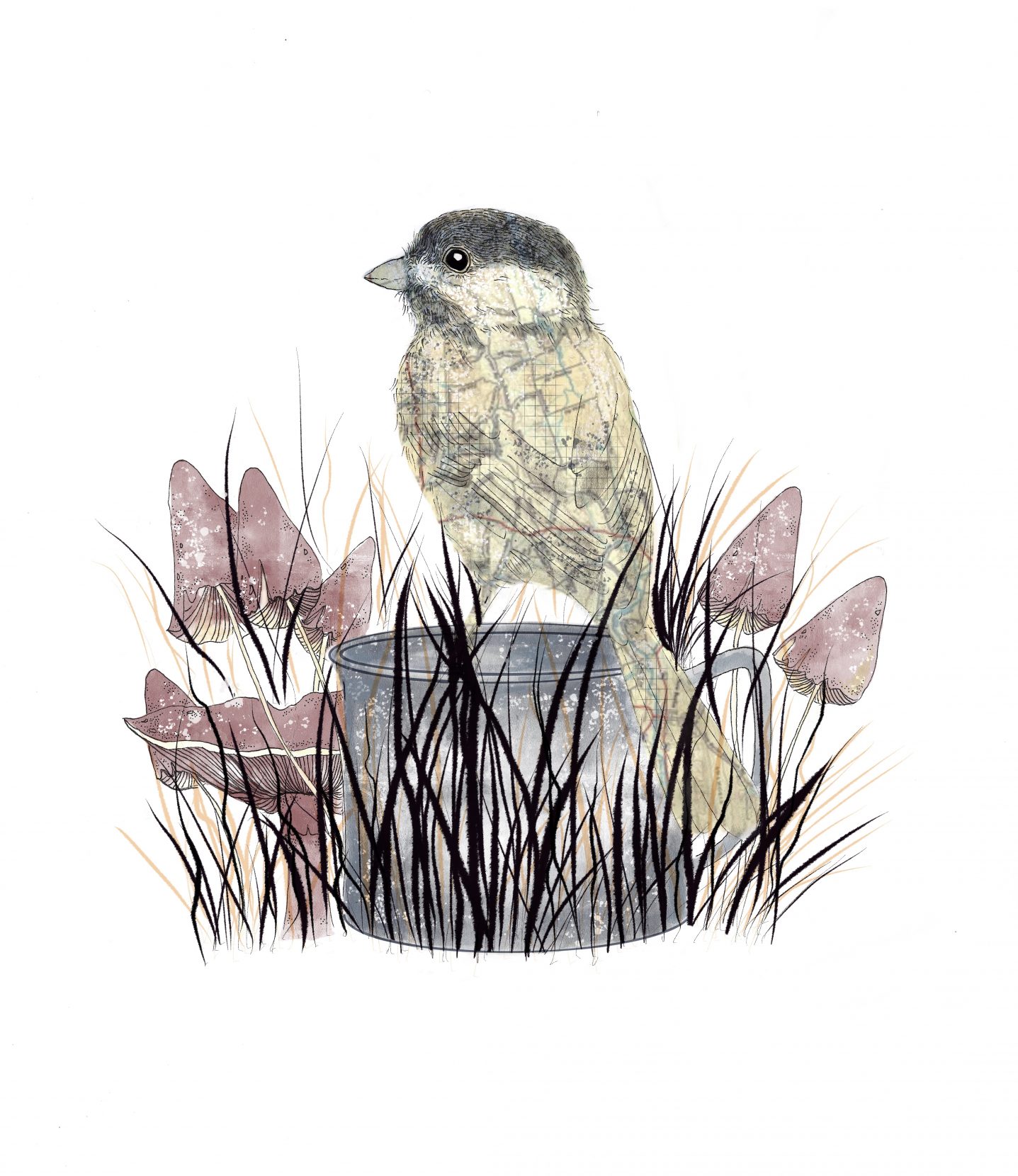
A chickadee perches on a tin can left in the woods by a human interloper. Illustration by Maggie Scotilla.
Good field-truthers, like good reporters, are world-class noticers. As we make our way back out to the river road, Hermann spies a rusting piece of equipment, and a sandy beach along the creek. Probably a water pump for a sawmill, he says. They probably dammed the creek, which created the beach. Gantz is similarly eagle-eyed, spotting a small spring house at one point and, later, a gangly young black bear.
I would have expected these guys to be demoralized by the human intrusions on natural areas, but to them, the story of a place includes what people did there. Whenever you’re on a trail, Hermann notes, you’re not in wilderness. For him, a recreational map should do more than show the location of the trees, creeks, and trails. It should also tell you where people built fire towers, stone cabins, and railroad trestles.
In 2000, as the lead cartographer for the Historical Atlas of Maine, Hermann trained his focus on the locations of boot and shoe manufacturers, electric streetcar networks, lobster landings, and canoe routes between the Gulf of Maine and the St. Lawrence River, among other points of interest. The book, which includes 367 maps, swept the major cartography awards when it was published in 2015.
Hermann delved even deeper into the history of the human footprint in a stunning tablecloth-sized map that traces French explorer Samuel de Champlain’s 17th-century travels in eastern Canada.
Champlain, too, was a cartographer — perched in the prow of a boat, he tirelessly sketched the bays, inlets, and rivers of what is now Quebec and New Brunswick.
“I was wounded with an arrow which slit the tip of my ear and pierced my neck,” wrote Champlain, in an entry from the explorer’s journals that appears on Hermann’s map. “I seized the arrow which was still in my neck and pulled it out…My wound did not hinder me, however, from doing my duty…”
Hermann and Gantz have never been struck by an arrow in the backcountry, but they have encountered squatters’ encampments, fracking wells, and a guy on an ATV with a shotgun across the handlebars. The ATV guy turned friendly when Hermann told him that his private road would get taken off the next edition of his map.
Verifying that the story his map is going to tell matches the story on the ground is about more than keeping track of gates. As important as figuring out what to put on a map is figuring out what to omit.
~~
Like so many great human enterprises, Purple Lizard was launched in a student bar, where, like so many developers of great human enterprises, Hermann started scribbling on napkins. In his case, he was drawing trail maps for friends.
The map itself was a work of art: colorful, elegant, easy to read, with a smooth, cool feel, like polished stone.
He had always liked maps. As a child on long car rides with his family, Hermann would follow their progress on the AAA TripTik — the booklet of maps custom-made for the automobile club’s members in advance of the Great American Road Trip. As he got older, he says, his passion “was always to be out in the woods.” Those dual passions, for maps and for the outdoors, led him to study cartography at Penn State, where I teach journalism.
To get a sense of what students of contemporary cartography learn, I call on Cynthia Brewer, head of the university’s geography department and famous among cartographers for developing a widely used set of color schemes for thematic mapping, known as ColorBrewer.
Brewer’s office overflows with map cases, atlases, and the tools of the cartographer’s trade. To show me how the profession has changed from the 1980s, when she was in school, to the 90s, when Hermann arrived, she digs around in a cardboard box and pulls out ink pens, a jewel nib, a clear plastic triangle, and some Mylar sheets. She also shows me the first fully produced map she ever made as an undergrad: a county-by-county map, showing the density of single men — pun intended — in New York State.
Before computers, Brewer tells me, a cartographer might start with a photo of a U.S. Geological Survey map — made from a satellite image, and before that, an aerial photograph, and before that from surveyor’s measurements. Printed at the desired size, the photo could be traced and layered with the desired features: roads and trails, names and symbols. All this was done by hand, “polygon by polygon, line by line, letter by letter.”
Hermann’s generation of cartographers starts with a USGS map, but they can resize it on a computer screen and then use digital tools to tell whatever story they want their map to tell. There is, after all, no end to the information that can be gathered about a locality: its history, its flora and fauna, its rocks and minerals, its buildings and roadways, its fields and streams, its mountains and valleys, its waters and weathers, its people and polities.
In the hands of fellow artisanal cartographer Lauren Tierney, maps can render everything from Antarctica’s glacial melt to the seasonal movements of elk herds in Yellowstone National Park, the latter created using GPS data from collared elk. More fancifully, Chelsea Nestel tracked down fearsome folklore to plot the locations of mythical “Monsters of the United States” — from New Mexico’s blood-sucking Chupacabra to South Carolina’s skin-stealing vampire Boo Hag. Connie Brown further merges fact and fiction with her map showing the global distribution of 174 translations of Alice in Wonderland.
Hermann likes to sprinkle quotes from famous writers on his maps, along with tiny purple lizards to indicate “scenic vista, cool place, local legend.” He says he is driven by offering possibilities, not directions.
“The strength of being able to lay out a two-foot-by-three-foot map of the area you’re in,” he says, “is to see all the options that you have and see something interesting and decide you want to go there.”
~~
Maps are dreamscapes. The squiggly borders separating green land from blue water are an invitation. I don’t have to wonder what it would be like to explore this or that stretch of coastline. It’s on a map. I can go there.
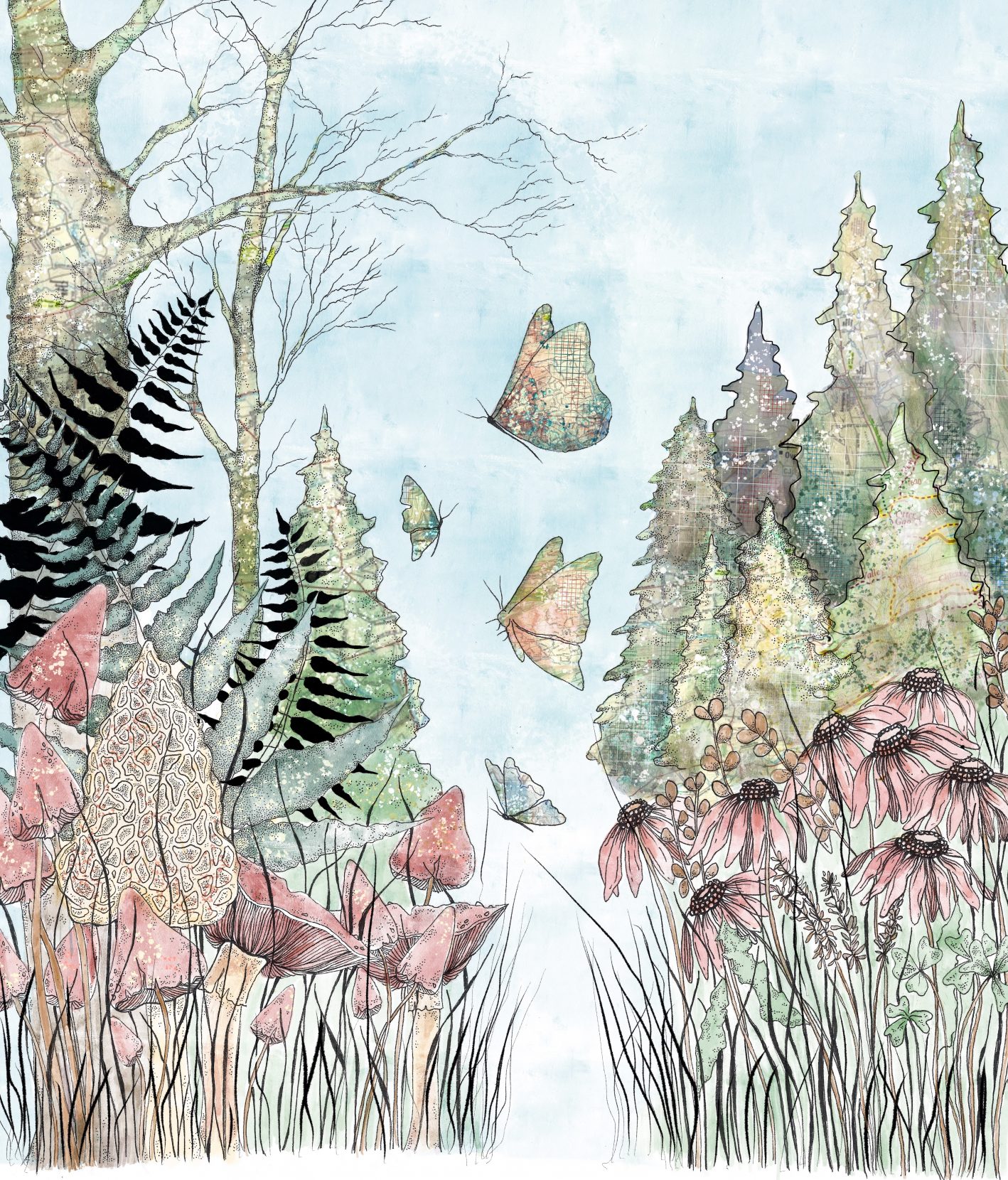
The lines we draw upon the wilderness may inform and inspire — but never fully define — our experience of the natural world. Illustration by Maggie Scotilla.
In addition to allowing us to imagine journeys we may never take, maps allow us to dream our way back to the places we have already been. I still have the paper map that came with the Eurail pass I bought in 1978 when I backpacked through Europe the year after college. I’ve kept it all these years as an aide-memoire, tracing my five-month journey through France and Italy, then over the water to Greece, and back to France, via Italy, Austria, and Germany. I’ve also hung onto the street maps of most of the cities and towns I visited that year. Keen to distance my cooler-than-thou 23-year-old self from snapshot tourism, I didn’t bring a camera on my travels; I remember the places I visited when I thumb through those tattered maps.
~~
A few weeks after the Pine Creek field trip, I visit Hermann at his home, a 150-year-old log house on the outskirts of State College that he shares with his wife, cat, dog, and Penelope the Peahen, who roosted in their backyard one day and has never left. As he leads me up to his office, I take note of the ancient round-screen television, beauty salon hair dryer, and blue vinyl chair in his living room.
His office is a jumble of printers, shredders, computers, straight edges, markers, packing tape dispensers, antique typewriters and cameras, plus countless tiny cars and an array of fuzzy and rubbery purple lizards. Unsurprisingly, there are too many maps, atlases, and globes to count.
Maps are dreamscapes.
Hermann sits down at his computer and begins adding, subtracting, moving, and resizing various features in light of the field truth he had discovered that day I tagged along.
“It’s just a big graphic design puzzle,” he says. “People assume the computer makes the map. It’s not as automated as they think.”
The names on this small slice of rural Pennsylvania are little poems: Hickory Swale, Pine Lick Cove, Little Dog Run, First Fork Larry’s Creek, Sunny Hollow. In a blank space, Hermann has inserted a quote from Helen Keller: “To me a lush carpet of pine needles or spongy grass is more welcome than the most luxurious Persian rug.”
Watching Hermann edit is a master class in attention to detail. He tells me that one of his Pine Creek sources has alerted him to a discrepancy: A trail by the name Asworth appears as Ashworth on another map. Of the two, Asworth looks more like the misspelling, but here, as in journalism, is where Hermann says a third source would come in handy. He Googles both names, finds nothing definitive but feels better about Asworth when he finds some Pennsylvanians who go by that name. I suggest a visit to a local cemetery. For now, though, Hermann stays with Asworth.
But the hardest part of making a map, he says, might be figuring out where it should end. “There’s always something just off the map that’s interesting,” he says wistfully.
I know just what he means.
Russell Frank
As a writer and a writing instructor, Russell Frank’s mission in life is to foster appreciation of a keen observation, a well-turned phrase, and a correctly used apostrophe.